Aerial / Drone Mapping Solutions
WORK SMART WITH DRONE DATA
MAP WITHOUT LIMITS


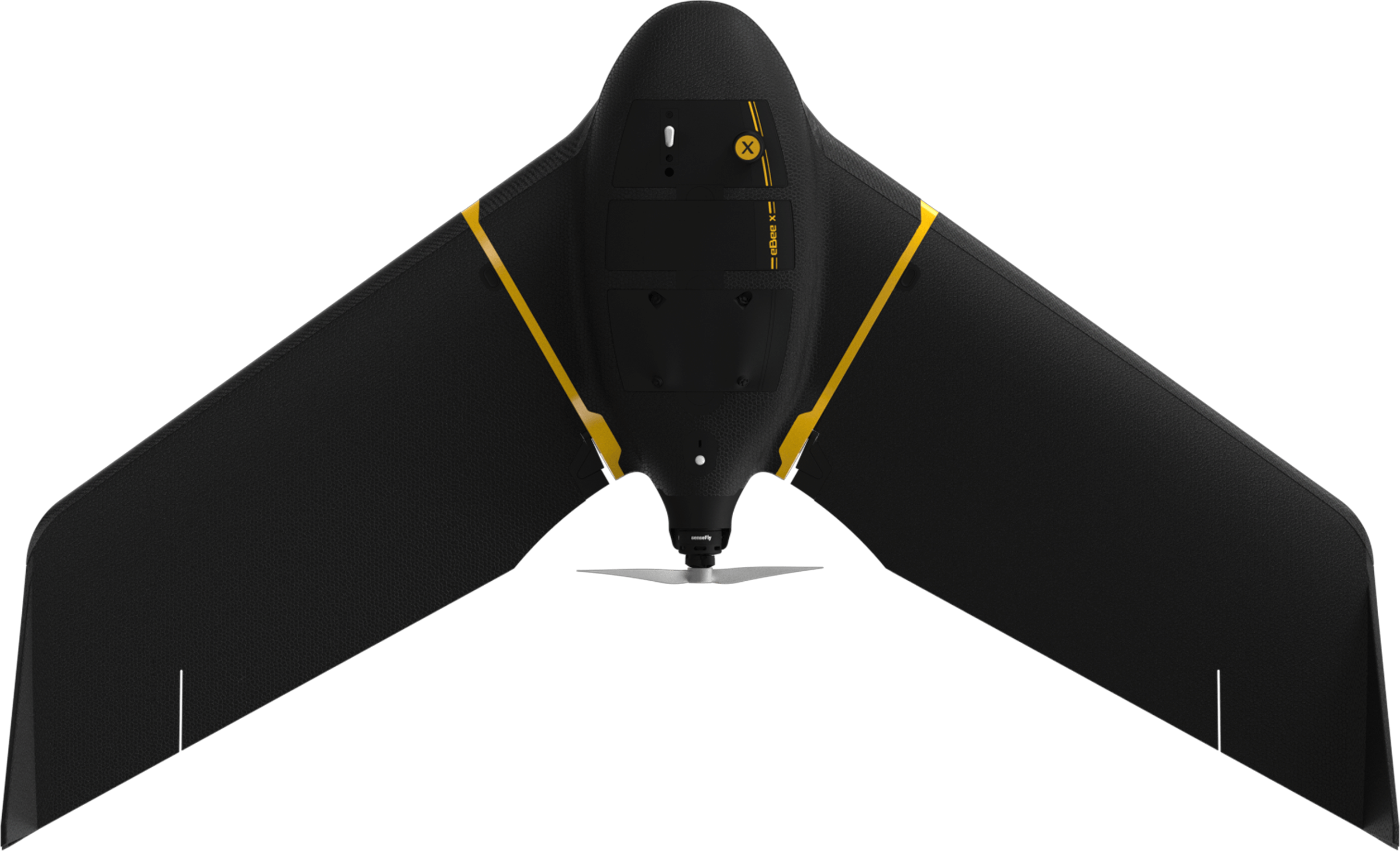
Exploring the SenseFly eBee X
with Drone Inspections
We are capable of serving the government and private sector in land surveying, aerial surveying for land management & development, land slope monitoring, stockpile volumetric measurements, designing smart cities, drone mapping projects and many more.
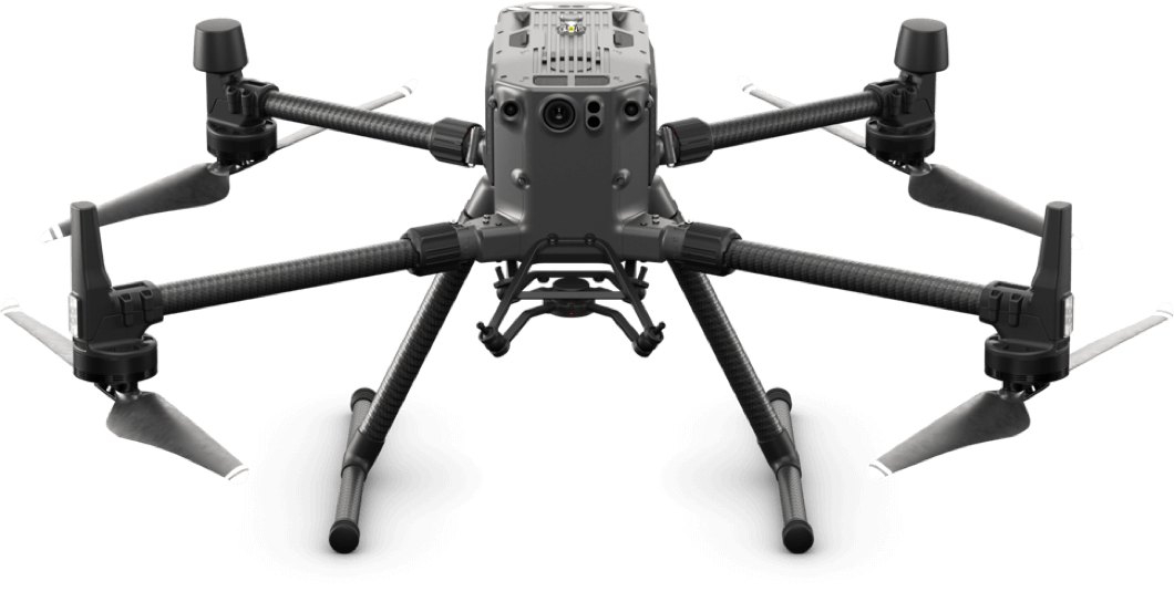
We prioritizes quality and perpetually continues to achieve highly effective inspections and accurate measurement of aerial drone mapping with centimeter level accuracy at any given time. We have more than 15 years of skilled licensed pilot with High-end surveying drone’s technology. Our clients obtain the deliverables faster, hence promoting drone survey company more agile decision-making with the exact conceptual project requirements. Our drone survey company specializing in aerial inspections and data collection for various industries. Utilizing cutting-edge technology for efficient, cost-effective solutions.
- Digital Elevation Model (DEM)
- Digital Terrain Model (DTM)
- 3D Textured Maps
- 3D Graphics Maps
- Orthomosaic Maps
- 3D Point Cloud
- Digital Surface Models (DSM)
Benefits of Ariel Mapping and Drone Mapping Services from Ariel Survey:-
- Bridge Inspection
- Cell Tower Inspection
- Mining
- Infrastructure
- Railways
- Highways & Road
- Digital Surface Models (DSM)
- Agriculture
- Residential
- Renewable Power Energy
- Real State
- Oil & GAS
- Solar Panel Inspection
- Wind Turbine
