Applications for 3D Laser Scanning Survey Services will include:
- Remotely capture data from potentially hazardous sites, e.g. motorways or structurally unsafe buildings
Fast data capture; critical on sites with limited access, e.g. crime scenes - Complete data collection enables further investigations to be carried out later on without costly returns to the site
- Reduces the costs and downtime associated with construction rework, site revisits and field changes
- Lower cost as-built and topographic survey method compared to alternatives
- Improved accuracy and precision reduces the risks associated with project execution
- Highly-detailed data improves decision-making and engineering designs
- Our professional can enables 3D modelling design and building information modelling (BIM).
Industrial Applications
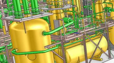
The petrochemical industry has been using 3D laser scanning for years, but more and more also other industrial sectors see the usefulness of this technique for the management of industrial plants
Volume Calculations
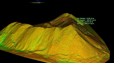
For the determination of the volumetric of stocks 3D laser scanning is used as a reliable and safer alternative to conventional surveying when accuracy is needed.
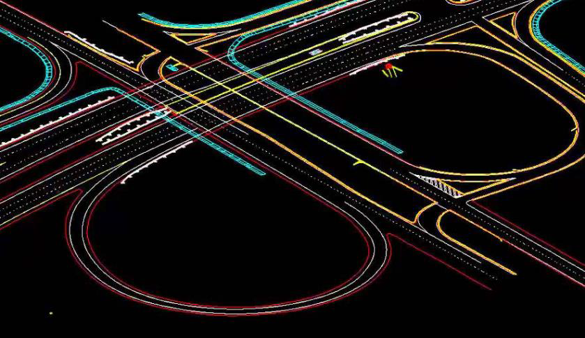
Infrastructure Applications
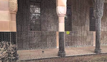
Architecture Applications
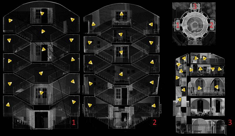
By scanning the facades and interiors of a monumental building a 3D point cloud of the entire building is created. This data serves as the basis for creating floor plans, facade plans, etc.
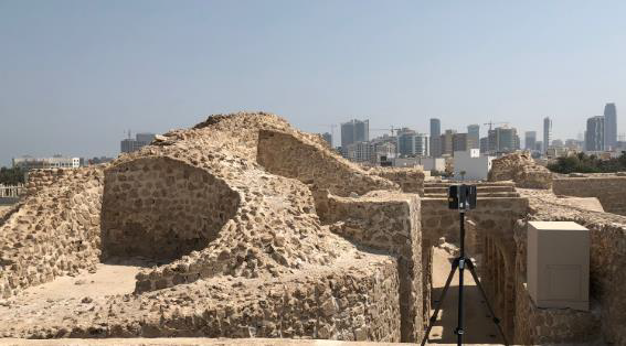
Archaeological/Heritage
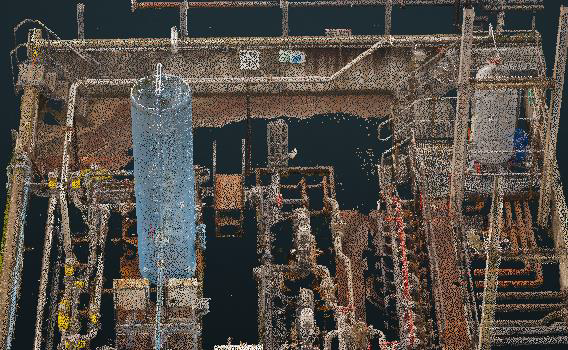
Registered Point Cloud
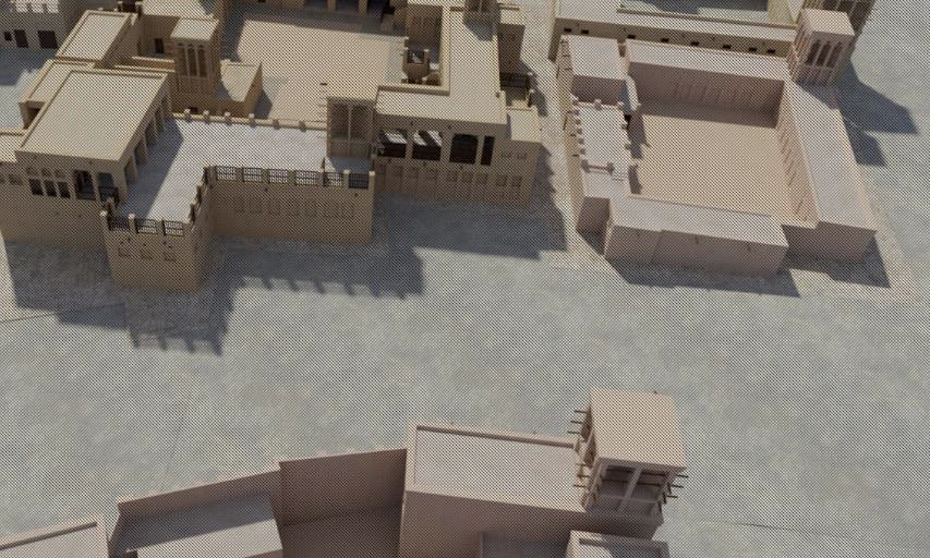
3D CAD Models
We offer a range of 3D CAD models in various formats and levels of detail to suit your needs
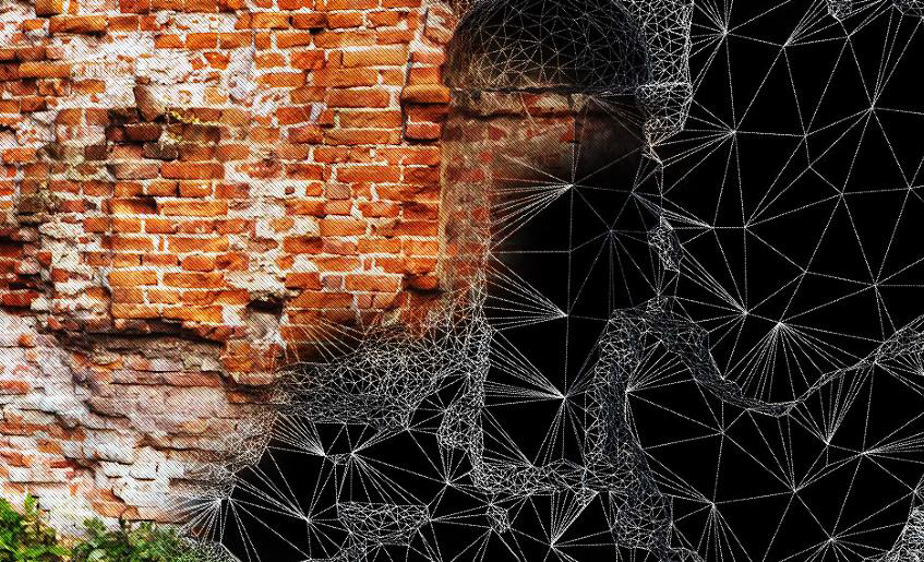
3D Mesh Models
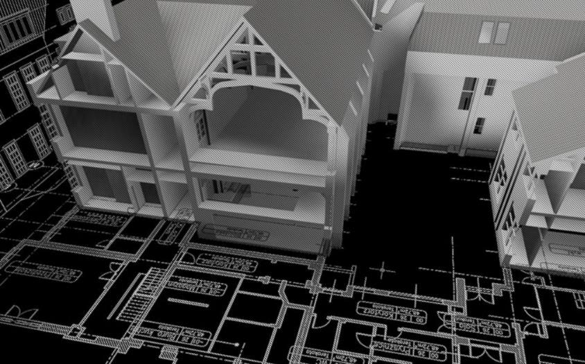
BIM Models
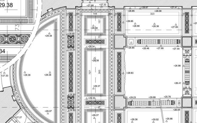
2D CAD Documentation
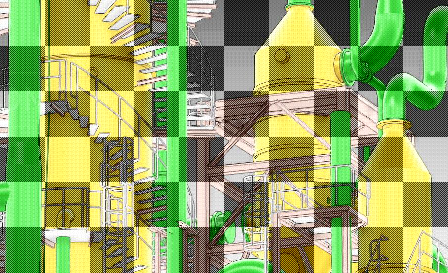
Plant Design Models
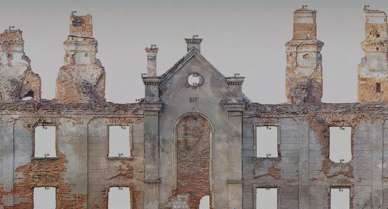
Orthophotos
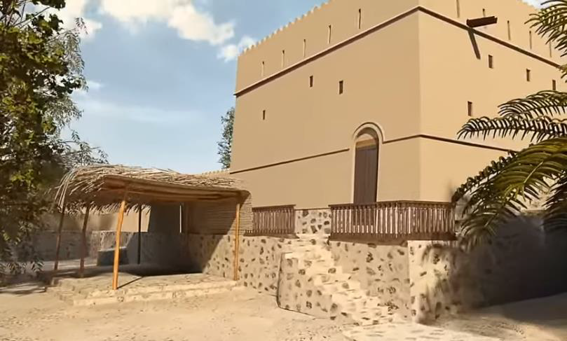
3D Virtual Reality
We can professionally specified the objects, buildings spaces and create game-like environments with interactive 3d walkthroughs.
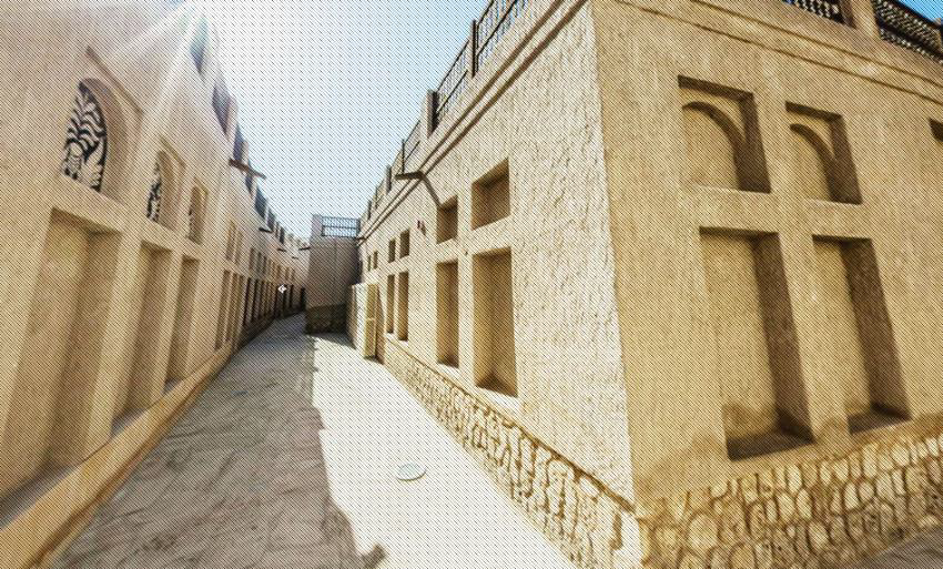
Panoramic Images
