Al Fareed Engineering
Underground Utility Survey
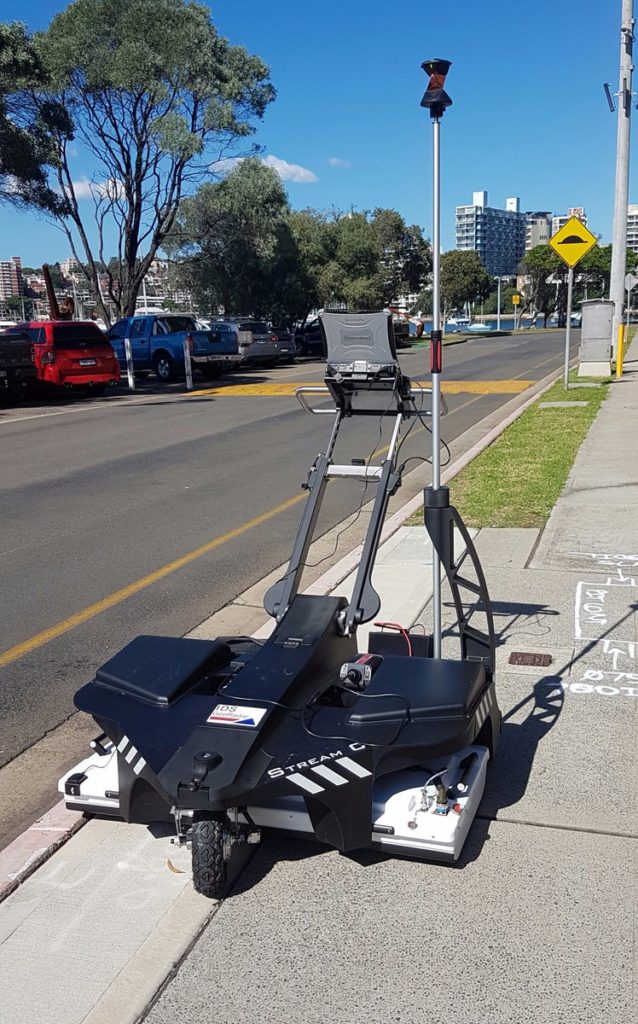
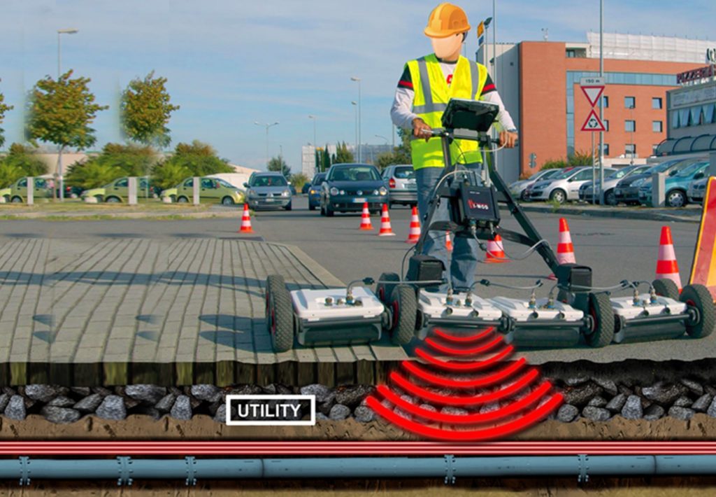
The failure to identify the locations of buried services before a development takes place can result in increased projects costs and delays such as re-routing services. An Underground Utility Survey also minimizes the risk of serious health and safety implications while on site works take place.
What is Underground Utility Survey Mapping?
Aerial Vehicles (UAVs) By Martix 300 Drones and Ebee X Drone can improve the efficiency and effectiveness of your projects. By allowing easier access and capturing volumes of highly accurate data in less time, UAVs can reduce project costs. By allowing close-up inspection of hard-to-reach structures, rugged terrain, and remote sites, they can reduce risk. And by providing real-time project information and accurate side by side comparisons, they can facilitate informed decision making, improving project quality.
Benefits of using our utility detection surveys:
- Reduce the exposure to buried hazards.
- Non-intrusive survey – minimizes the disruption.
- Reduces the quantity of an intrusive investigation like slit trenching. Minimize risk.
- Gives the client overall deem against slit trenching which usually covers only a slight portion of a site.
- Gain confidence before excavation works
- Comply with the health and safety regulation.
- Latest survey equipment and software.
- An accurate record of underground utility depths and locations.

UNDERGROUND UTILITY SURVEY
Deliverables
Deliverables include 2D Plan outputs, 3D wireframe and model drawings of underground structures/ chambers and associated cable and pipe networks, GIS outputs, Geo-referenced manhole photography, longitudinal sections & cross sectional views of pipework and other detailed reports.

