Professional Land Surveying
We specialize in construction layouts, topographical surveys, boundaries, subdivision design, title and boundary surveys, pipelines, gas and oil well locations, unit surveys, digitizing, map reproduction and preparation, wetlands delineation, and provide dedicated mapping services.
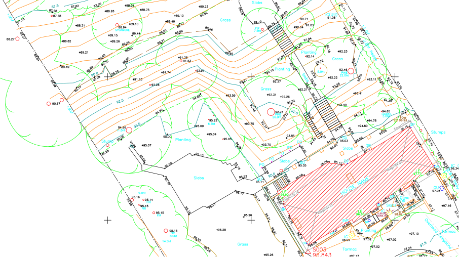
Topographical Survey
A topographical survey is an accurate depiction of a site which is scaled according to the spatial considerations and is the summary of on-site data
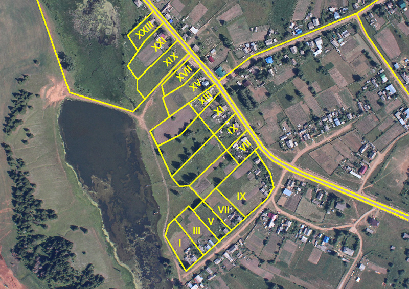
Boundary Survey
with the process of defining the land boundaries and demarcations; whether it is positioning undefined land or assisting in resolving boundary disputes between neighboring clients in Oman.
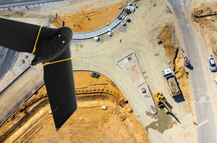
Aerial Survey
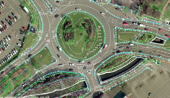
Road Survey
A topographical survey is an accurate depiction of a site which is scaled according to the spatial considerations and is the summary of on-site data

Control Point Establishment
with the process of defining the land boundaries and demarcations; whether it is positioning undefined land or assisting in resolving boundary disputes between neighboring clients in Oman.
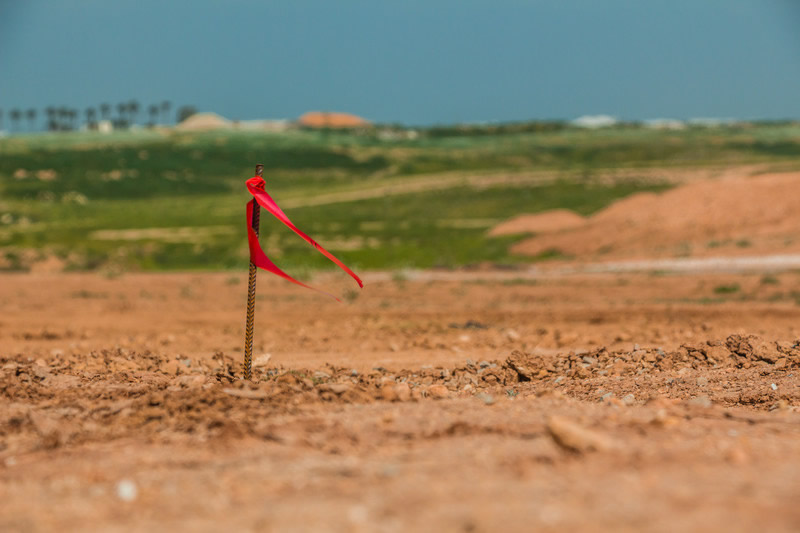
Construction Staking

Volume Survey
A topographical survey is an accurate depiction of a site which is scaled according to the spatial considerations and is the summary of on-site data
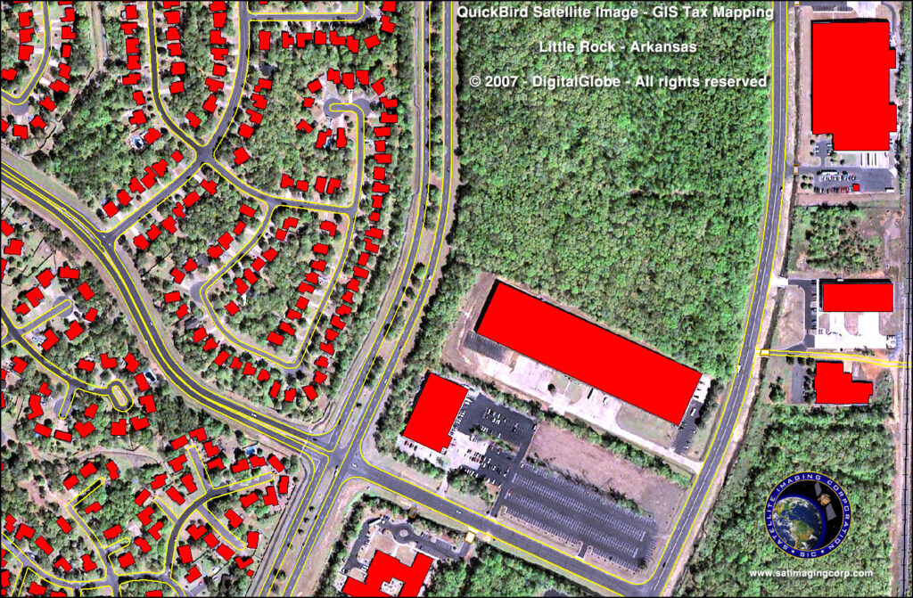
GIS Mapping
with the process of defining the land boundaries and demarcations; whether it is positioning undefined land or assisting in resolving boundary disputes between neighboring clients in Oman.
